
Magellan
The mission that produced the first near-global high-resolution radar map of Venus.
Agency
NASA
Destination
Venus
Launched
May 4, 1989
Ended
October 12, 1994
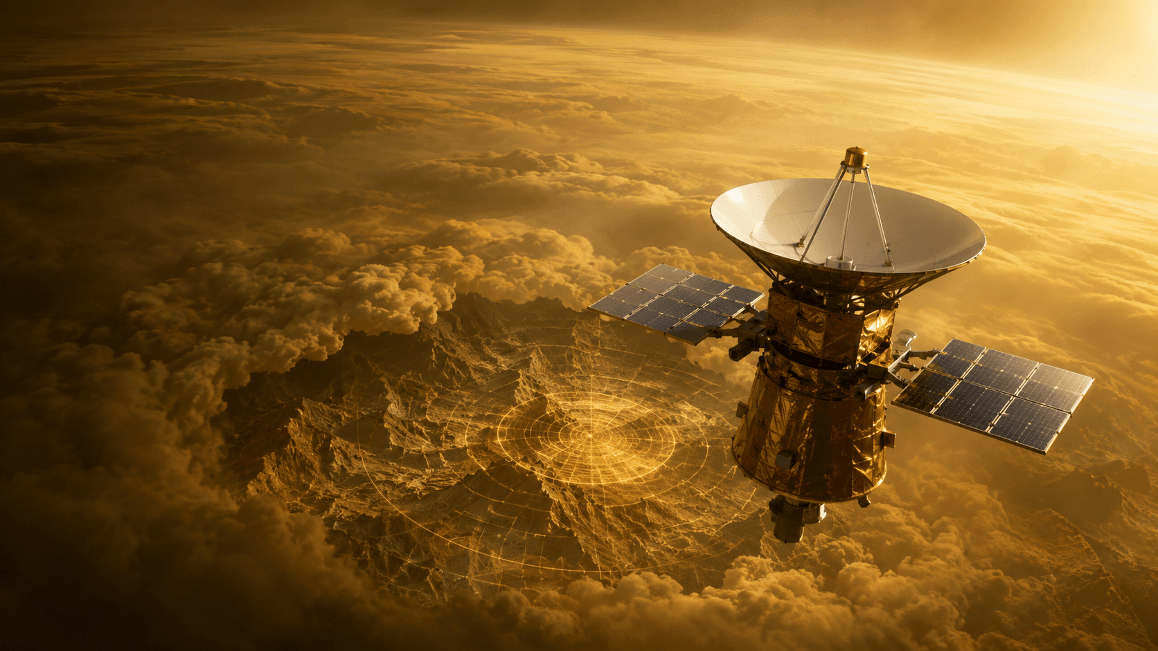
Quick answer: Magellan was a Venus radar-mapping orbiter led by NASA. It began on May 4, 1989, focused on Venus, and is best known as the mission that produced the first near-global high-resolution radar map of Venus. Its work mapped about 98 percent of Venus and revealed volcanoes, vast lava plains, mountains, coronae, and tectonic structures.
Magellan at a Glance
| Question | Answer |
|---|---|
| What kind of mission was it? | Venus radar-mapping orbiter |
| Who led it? | NASA |
| When did it begin? | May 4, 1989 |
| What did it study? | Venus |
| Current or final status | Ended October 12, 1994 |
| Why is it famous? | First near-global high-resolution radar map of Venus |
What Is Magellan?
Magellan was NASA's Venus radar-mapping orbiter. Deployed from Space Shuttle Atlantis on May 4, 1989, it reached Venus in August 1990 and mapped about 98 percent of the planet with synthetic-aperture radar. It revealed volcanoes, vast lava plains, mountains, coronae and tectonic structures — the surface features hidden beneath Venus's cloud layer.
Magellan built on the radar mapping first performed by Venera 15 and 16 and provided a global reference dataset still used today.
Why Magellan Was Created
Before Magellan, most of Venus's surface remained unmapped at useful resolution. Cloud cover blocks visible-light imaging, so radar was the only way to reveal the surface globally. Mission planners chose a synthetic-aperture radar and an elliptical Venus orbit that would build up mapping strips over many cycles.
Magellan Facts at a Glance
| Field | Value |
|---|---|
| Program purpose | Radar-map Venus at high resolution |
| Launch | May 4, 1989 |
| Flight strategy | Shuttle deployment, cruise, orbital radar survey |
| Mission ended | October 12, 1994 |
| Defining importance | First near-global high-resolution radar map of Venus |
Launch, Route, and Arrival
The mission began on May 4, 1989 with deployment from Space Shuttle Atlantis, followed by a cruise and Venus orbit insertion in August 1990. Trajectory correction maneuvers refined the path after launch. The spacecraft was later aerobraked into a more circular orbit to enable gravity measurements before its planned atmospheric entry in 1994.
Spacecraft Design and Instruments
Magellan's primary instrument was a synthetic-aperture radar (SAR) that used the same antenna for imaging, altimetry and communications. Every subsystem supported observations of Venus: power, thermal control, pointing accuracy, data storage and communication bandwidth were all tuned to the SAR data stream.
How the Mission Collected Evidence
Magellan built its map in strips. Each orbit imaged a narrow swath, and multiple cycles combined those swaths into near-global coverage. Investigators calibrated the radar with test targets and cross-checked mapped features between cycles. Radio tracking during the aerobraking and low-orbit phase produced a gravity map.
Major Discoveries
Magellan mapped about 98 percent of Venus and revealed volcanoes, vast lava plains, mountains, coronae and tectonic structures. It established the near-uniform crater distribution that suggests a global resurfacing event and provided the reference surface map for all subsequent Venus science. Combined with Venera landing data and Akatsuki atmospheric measurements, Magellan's global map anchors modern Venus research.
Engineering Challenges
The Venus environment imposed thermal, radiation and communications constraints. Solar arrays had to withstand the higher solar flux inside Earth's orbit, and thermal control had to shed heat while supporting radar operation. Aerobraking — using drag through Venus's upper atmosphere to lower the orbit — was itself a first-of-its-kind technique that later missions inherited.
How Magellan Changed Planetary Science
The first near-global high-resolution radar map of Venus turned a mostly unknown surface into a mapped world. Hardware designs, aerobraking, radar processing pipelines, calibrated archives and trained science teams influenced later Venus and Earth-orbiting radar missions.
What Magellan Did Not Prove
A near-global map does not determine ages precisely, and radar reflectivity is not identical to surface composition. Some interpretations of Venus's resurfacing history remain debated. Later missions may revisit them with better data.
Frequently Asked Questions About Magellan
What was the main purpose of Magellan?
To radar-map Venus at high resolution using an orbiter.
When was Magellan launched?
Magellan launched on May 4, 1989 and ended on October 12, 1994.
Who operated Magellan?
NASA led the mission with the scientific and engineering organizations identified in official program records.
What did Magellan discover?
Magellan mapped about 98 percent of Venus and revealed volcanoes, vast lava plains, mountains, coronae and tectonic structures.
Why is Magellan historically important?
Because it produced the first near-global high-resolution radar map of Venus.
Is Magellan still active?
No. The mission ended on October 12, 1994.
How did Magellan reach Venus?
Deployment from Space Shuttle Atlantis, followed by a cruise and orbital radar survey.
Where can Magellan data be found?
Start with the official mission page.
Final Perspective
Magellan turned Venus into a mapped world. Its defining place — the first near-global high-resolution radar map of Venus — anchors modern Venus science alongside Venera and Akatsuki.
Authoritative Source
Factual status reviewed: September 4, 2026.
Primary sources
Last verified 2026-01-15. Mission status and dates can change.